Survey & catalog the land
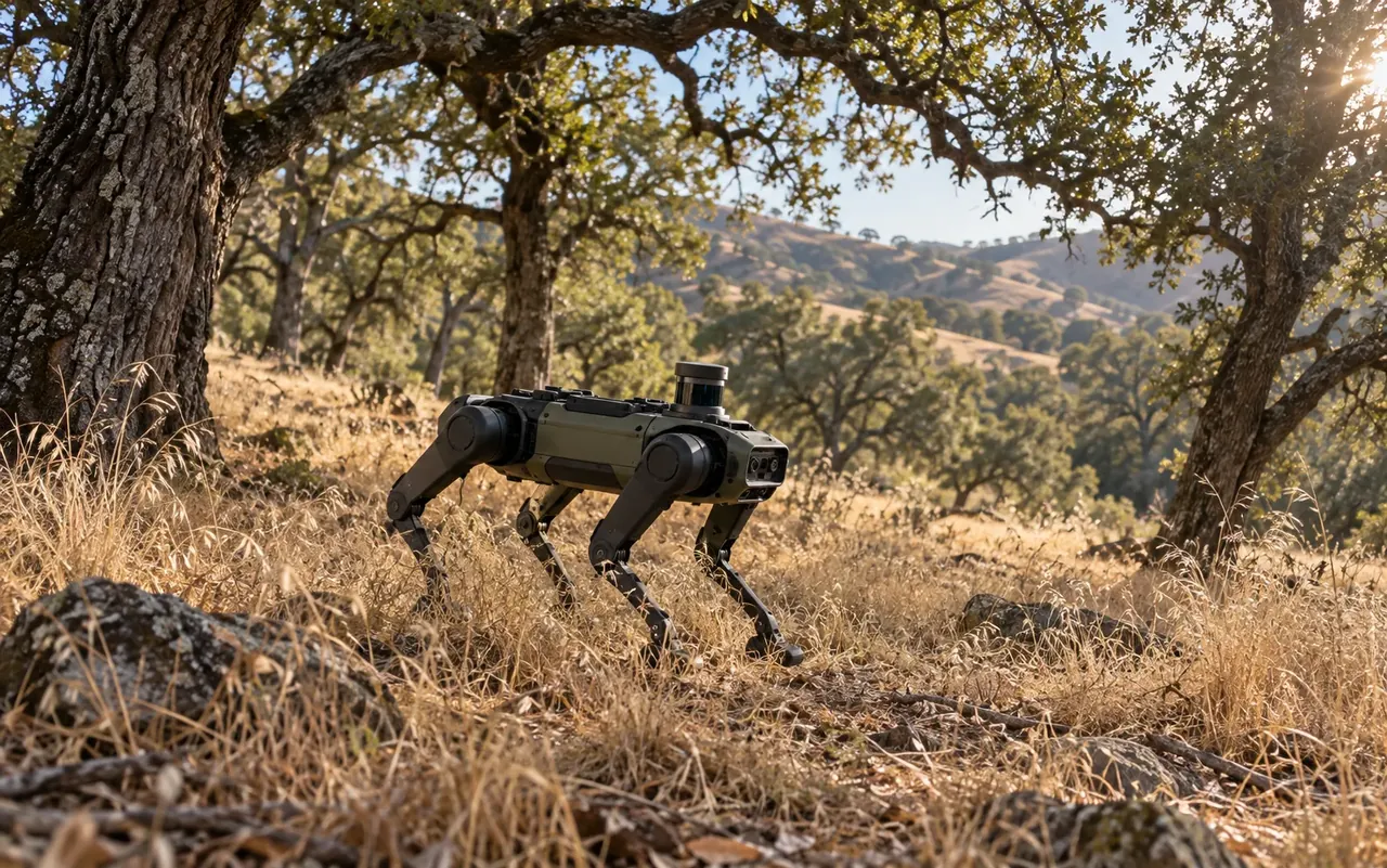
Drone flights capture survey-grade RTK/PPK aerial imagery of the whole site. Below the tree canopy, where aerial imagery can't see, quadruped ground robots and field crews walk the understory to complete the map.
Every plant, native and invasive, gets a permanent ledger entry: position, species, condition. Our proof-of-concept terrain is majority oak woodland, so sub-canopy sensing is a requirement, not a gimmick.